Looking for assistance with implementation and execution?
Let our expert professional services team help you get started and achieve success with our solutions through a range of onboarding and adoption services. Email us to find out more.
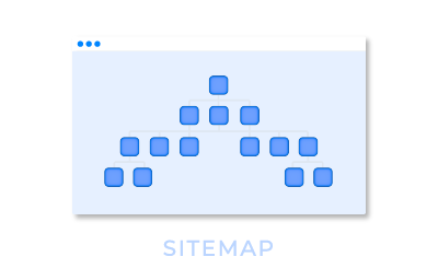
We've got you covered if you're looking for help with Nintex Community. Just click on the buttons below, and you can view the site map or contact one of our friendly Nintex Community Managers. We're here to make things easy for you!